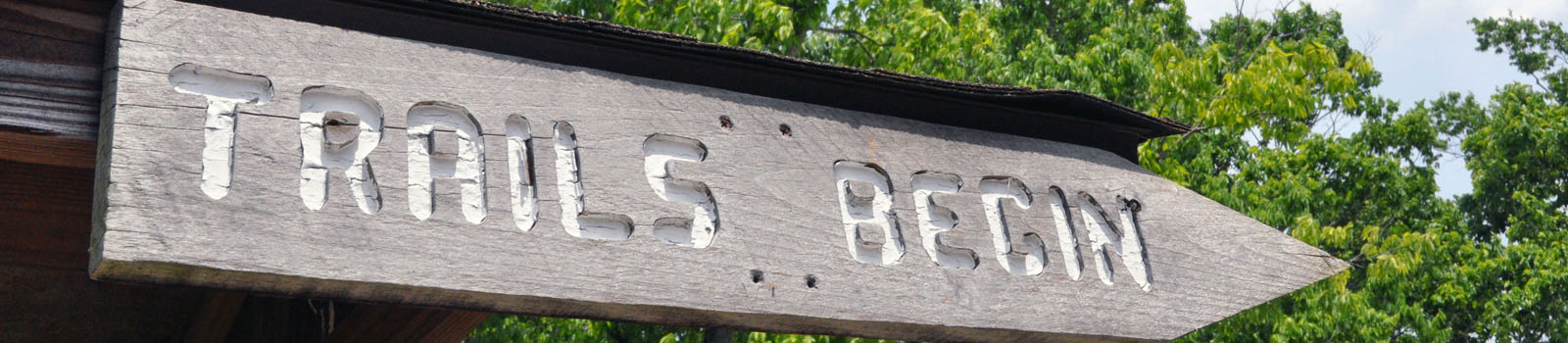
Lexington has many miles of trails which offer a great way to lead a healthier and more active lifestyle.
Trail types
Shared use trail
Is paved and designed for activities such as running and walking as well as higher-speed activities like bicycling and skating. They are 10 to 12 feet wide.
Walking trail
Is paved and is at least 8 feet wide. For everyone’s safety, bicycling and skating at greater than a fast walking speed is not allowed on walking trails.
Paths
Narrower than 8 feet and may include sidewalks, gravel paths and grass paths.
Hiking Trails
Generally single person width, natural surface and for pedestrians only. Hiking trails may range from easy (level grades and shorter distances) to difficult (steep grades and/or longer distances).
*It is recommended that you select hiking trails appropriate for your level of physical ability.
List of trails
| Park | Length | Trail information |
| Addison Park |
0.4 mi |
Walking trail off Pine Meadows Drive / Garrison Ave. |
| Arboretum Trail |
2.0 mi |
Walking trail off Alumni Dr.; NO BIKES ALLOWED |
| Beaumont Preserve |
0.9 mi |
Walking trail spur off Cardinal Run Park Trail; Access behind Rosa Parks Elementary School; naturalized area |
| Belleau Woods Park |
0.4 mi |
Walking trail off Forest Green Dr. |
| Brighton Rail Trail |
1.84 mi |
Shared use trail from Man O War Blvd. connecting to Pleasant Ridge Park and Polo Club Blvd. |
| Cardinal Run South Park |
1.2 mi |
Shared use trail off Parkers Mill Rd. |
| Citation Village Trail |
0.2 mi |
Shared use trail off of Robinson Way |
| Coldstream Park |
1.2 mi |
Shared use trail spur off Legacy Trail located off McGrathiana Pkwy. |
| Constitution |
0.9 mi |
Walking trail off Old Paris Pike / Rookwood |
| Cross Keys Park |
0.3 mi |
Gravel path off Cross Keys Rd. |
| Day Treatment Center Trail |
0.6 mi |
Walking trail off Red Mile Place (connects to Addison Park) |
| Dogwood Trace Park |
0.6 mi |
Walking trail off Dogwood Trace Blvd. |
| Douglass Park |
0.3 mi |
Paved path off Georgetown Rd. |
| Elizabeth Street |
0.3 mi |
Path off Elizabeth St. |
| Gainesway Park |
0.6 mi |
Walking trail off Appian Way |
| Gardenside Park |
0.1 mi |
Walking trail off Yorktown Dr. |
| Garden Springs Park |
0.5 mi |
Walking trail off Garden Springs Dr. |
| Gleneagles Greenway |
0.7 mi |
Unpaved path off of Polo Club Blvd. in greenway with native planting |
| Gleneagles Trail |
0.3 mi |
Shared use trail spur off Brighton Rail Trail; Access off Polo Club Blvd. or Pleasant Ridge Park |
| Hamburg Trail |
0.3 mi |
Shared use trail of Sir Barton Way near Winchester Rd. |
| Harrod Hill Park |
0.5 mi |
Walking trail off Ridgecane Rd. |
| Hartland Park |
0.5 mi |
Walking trail off Kenesaw Rd. |
| Higbee Mill Park |
0.5 mi |
Walking trail off corner of Claysmill Rd. and Old Higbee Mill Rd. |
| Hisle Park |
3.5 mi |
Shared equestrian and hiking trail in park off Briar Hill Rd.; NO BIKES ALLOWED |
| Kirklevington Park |
0.9 mi |
Walking trail off Redding Rd. |
| Lakeview Park |
0.5 mi |
Walking trail off Laketower Dr. |
| Lansdowne-Merrick Park |
1.4 mi |
Walking trail/ path off Pepperhill Rd. beside Julius Marks Elementary School |
| Legacy Trail |
8.0 mi |
Shared use trail from Iron Works Pike to YMCA on W. Loudon Ave; Access/parking at trailhead across from Horse Park Campground; Coldstream Park and YMCA. |
| Liberty Park Trail |
1.3 mi |
Shared use trail off Starshoot Pkwy. |
| Martin Luther King Park |
1.2 mi |
Walking trail off McCullough Dr. |
| Mary Todd Park |
0.3 mi |
Walking trail off Rodgers Rd. |
| Masterson Station Park |
3.0 mi |
2.6 perimeter grass path (front to back of park) and 0.5 mile connecting shared use trail to Masterson Station Dr. |
| McConnell Springs Park |
2.0 mi |
0.5 mile walking trail; 1.5 mile unpaved path in naturalized area. Located at end of Rebmann Ln. off Old Frankfort Pike; NO BIKES OR PETS |
| Meadowbrook Park |
0.3 mi |
Walking trail at end of Harvard Ln. off of E. Tiverton |
| Mount Tabor Park |
0.4 mi |
Walking trail off Eureka Springs or at end of Elk Creek Dr. |
| Pine Meadows |
0.2 mi |
Paved trail at end of Tazewell Dr. |
| Raven Run Nature Sanctuary |
10+ mi |
Hiking trails in naturalized area and 1 mile paved trail. NO BIKES OR PETS |
| Riverhill Park |
0.5 mi |
Walking trail and sidewalk |
| Shillito Park/ Lafayette Trail |
2.5 mi |
1.5 mile shared use trail loop; connects to 1.0 mile of Lafayette shared use trail running north/south through park; trail access from all park entrances |
| South Elkhorn |
0.5 mi |
Shared use trail off Newbury Way |
| Southpoint Park |
0.5 mi |
Walking trail off Graves Dr. |
| Spindletop Trail |
0.2 mi |
Shared use trail spur off Legacy Trail to Spindletop Hall |
| Squires Road Trail |
1.3 mi |
Shared use trail from Summerhill Dr. to Squires Rd.; access at Berry Hill Park |
| Stonewall Park |
0.3 mi |
Unpaved path off Cornwall Dr. |
| Town Branch Trail |
1.9 mi |
Shared use trail off Long Branch Ln. across from Masterson Station Park |
| Valley Park |
0.5 mi |
Walking trail & path off Cambridge Dr. |
| Veterans Park |
1.4 mi |
Walking trail off Southpoint Dr. |
| Veterans Park |
3.65 mi |
Mountain Bike Trail |
| Waverly Park |
0.7 mi |
Walking trail off Twain Ridge Rd. |
| Wellington Park |
1.5 mi |
Walking trail off Wellington Way |
| Wellington Trail |
1.3 mi |
Shared use trail along Keithshire Way/ Reynolds Rd.; connects to Shillito Park/Lafayette Trail |
| West Hickman Trail |
0.4 mi |
Shared use trail off Clearwater Way |